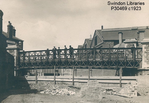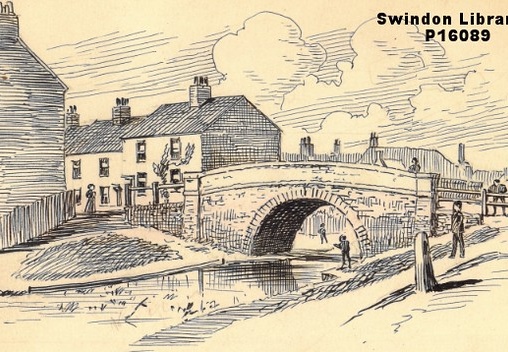
John Street/ Stone Bridge
Historic Map
Your browser does not support the audio element.
John Street bridge or Stone bridge was a stone single arch bridge, built in 1814 for the Canal Company.
This bridge was demolished between 1920-22.
The bridge was alleged to have been named after John Harding Sheppard, the owner of the land on which it was built.
There was a wharf adjacent on the north bank.
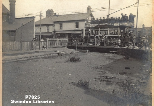
Fleet Street/ New Bridge
Historic Map
Your browser does not support the audio element.
Fleet Street Bridge or New Bridge was a steel flat swing bridge, built in 1878 for the Swindon Local Board.
The swinging portion over the canal was only 12 foot long and was moved by a turntable. Sometime before 1885 a raised footbridge was added on the south side, but then removed by 1890.
In 1904 the bridge was strengthened for a tramway and in 1916 converted to an embankment.
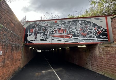
Railway Bridge/ Sheppard's Street Underpass
Historic Map
Your browser does not support the audio element.
Railway bridge, also known as Sheppards Street underpass was built of stone between 1840-41 by the Great Western Railway, to carry the main line between Bristol and Paddington.
The bridge span over the canal was 20 feet and the width along the canal was 49 feet, then in 1872 it was widened to 146 feet using brick and steel and then widened again in 1899 to 351 feet. The last widening involved the demolition of "Woodham's bridge" a small arch bridge to the north .
Today the canal line is a footpath and cycle track.
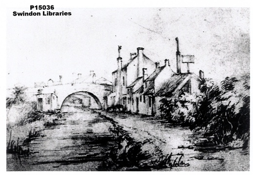
Woodham's Bridge
Historic Map
Your browser does not support the audio element.
Woodham's bridge was a stone single arch access bridge, built between 1814 and 1819 for the Canal Company.
This bridge was demolished between 1885 and 1899 when the adjacent railway bridge was widened.
Alongside the bridge were two pubs, the Locomotive Inn and Wholesome Barrel.
Further along the canal was an inlet to a Great Western Railway reservoir. GWR paid the canal company for water, which could only be taken between 12 o'clock each saturday and 12 o'clock the following monday.
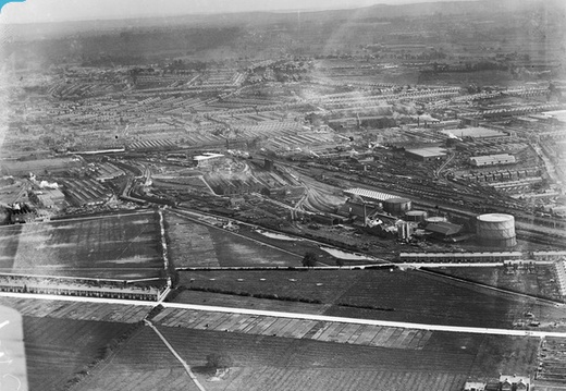
Flight of 5 Locks
Logging into the "Britain from Above" website enables fullscreen viewing and zooming in and out.

Image credit: RCHS. c1980's, Swindon town centre, former canal junction, looking north.

